Getting Around Mexico City
Mexico City is one of the most vibrant cultural hubs globally. As one of the largest and most densely populated cities, it spans approximately 50km and is home to over 20 million residents.
Understanding how to navigate the Mexican capital will enhance your experience in North America’s largest city. Here are some tips for doing so effectively.
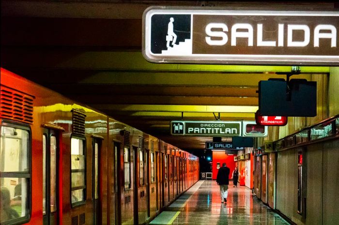 The Metro Underground Transportation System, Mexico City © Matt Mawson/Getty Images
The subway is an affordable, popular, and efficient way to navigate the city.
Mexico City’s subway system is among the most cost-effective and widely used means of transportation. With 12 lines and 195 stations, around 5.5 million commuters use it on weekdays, and it can be quite crowded during peak hours (7–9:30 am and 5–7:30 pm).
Beyond just transportation, some subway stations in Mexico City offer interesting activities. For example, Hidalgo and Bellas Artes stations feature murals and art galleries, there’s a cinema at Zapata, and Pino Suárez includes an ancient Aztec temple within its station.
Subway Tips: Due to heavy crowds, large backpacks or suitcases are not allowed. The first three carriages are designated exclusively for women and children.
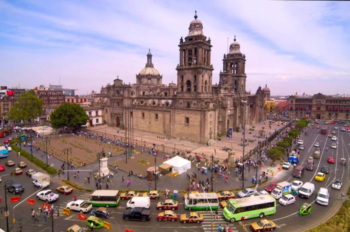 Heavy traffic engulfs Catedral Metropolitana in Mexico City © Julius Reque/Getty Images
A car is unnecessary, particularly during peak hours.
If you ask locals about navigating the city, they'll readily share their frustrations about the traffic jams.
Renting a car is not advisable. As one of the most congested cities globally, drivers spent an average of 132 hours stuck in traffic in 2022. To make the most of your trip, steer clear of driving or taking taxis during mid-morning, mid-afternoon, and early-evening rush hours.
Opt for taxis during the nighttime.
At times, you may prefer the convenience of a taxi, particularly at night. You can either hail one of the distinctive white-and-pink official taxis or use a ride-hailing service like Uber, Cabify, or DiDi to get around.
 Buses are often cheaper than the metro and can sometimes be quicker too © Cavan Images / Getty Images.
Thanks to dedicated lanes, buses provide a fast and cost-effective option for travel.
Mexico City boasts a well-established bus network, with thousands of buses and peseros operating daily from around 5am to 10pm, depending on the route.
Electric trolleybuses (trolebús) typically operate until 11:30 pm, with only a few routes running throughout the night, especially along Paseo de la Reforma. Here are the various types of buses:
Pesero
Peseros, also known as microbuses or combis, are gray-and-green minibuses run by private companies. They follow established routes, often connecting to metro stations, and will stop at nearly any street corner. Route details are usually displayed on cards affixed to the windshield.
Fares are M$5 for trips up to 3 miles (5 km) and M$5.50 for distances from 3 to 7 miles (5-12 km). A 20% surcharge applies to all fares between 11 pm and 6 am. Privately operated green-and-yellow buses charge M$6 and M$7 for similar distances. The ViaDF website is a helpful tool for navigating the complex pesero routes.
Metrobús
The metrobús is a long, wheelchair-accessible bus that halts at metro-style stations located in the middle of the street, with stops every three to four blocks. Access requires a prepaid smart card, available from machines for M$10 at the platform entrances, and rides cost M$6.
These rechargeable cards, which are also valid for the metro, are tapped on a sensor for entry. During busy peak hours, the metrobús is a hotspot for pickpockets. The front section of the bus is reserved for women and children, marked by pink seating. Most metrobús services operate from 5 am to midnight.
A top tip for the metrobús: Línea 7 is a red double-decker that travels along Paseo de la Reforma from Plaza Garibaldi, passing major attractions like Monumento a la Revolución, Zona Rosa, El Ángel, Bosque de Chapultepec, Castillo de Chapultepec, Museo Tamayo, and Museo de Antropología, ending just after Auditorio Nacional.
Closed on Sundays from 6:30 am to 2 pm between Chapultepec and Auditorio (including Antropología), as the avenue turns into a bicycle-only zone for the Paseo Dominical.
Trolebús
Municipally operated trolleybuses and the full-sized cream-and-orange buses (marked ‘RTP’) only stop at designated bus stops. Fares are M$2 (M$4 for express services) regardless of distance, and they accept only preloaded travel cards (the same as those used for the metro and metrobús), no cash.
Trolleybuses serve several key ejes (priority roads) throughout the city and typically operate until 11:30 pm. You can find route maps on the trolleybus website.
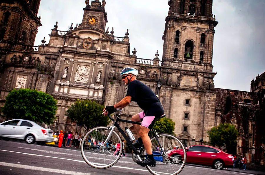
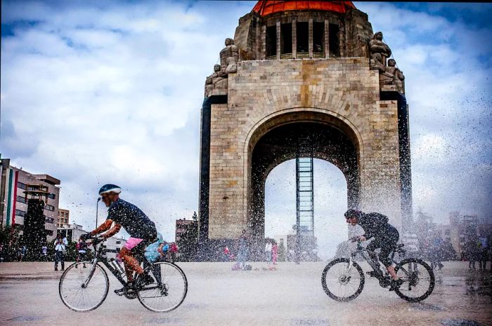 Cyclists ride past the Monumento a la Revolución in Mexico City © fitopardo/Getty Images.
Consider cycling on a Sunday.
Bicycles can be a practical means of navigating the city and are often a better choice than overcrowded, erratically driven buses. While careless drivers and potholes can make cycling in Mexico City feel like an extreme sport, it's manageable if you stay vigilant and avoid major roads. The city government promotes bicycle use by adding more dedicated lanes, and it's definitely gaining popularity.
Every Sunday (except for the last Sunday of the month), the Muévete en Bici program turns several major streets, including Paseo de la Reforma, into a 57km car-free route for thousands of cyclists, dog walkers, and rollerbladers to enjoy. From 8 am to 2 pm, these roads are closed to all motorized vehicles, providing a fantastic way to explore the city's key attractions.
Utilize the public bike-sharing system Ecobici to pick up a bike from any of the 503 stations spread across 71 neighborhoods. You'll need to register online or through the Ecobici app by linking your Integrated Mobility Card, then choose a plan for one, three, or seven days (M$118; M$234; M$391, respectively, for unlimited 45-minute rides). Use the app’s map to find your nearest bike dock.
Soar above the city in a cable car.
The new Cablebús system, launched in 2012, features two lines. The first line connects Indios Verdes to the northern neighborhoods of Cuautepec and Tlalpexco, cutting transport time to the city center in half for residents while also drawing tourists to this outlying area.
The second line links the southeastern areas of Constitución de 1917 and Santa Marta. Spanning over 10km, it stands as the longest public cable car line in Latin America. For just M$7, you can float in a gondola 100 feet above the busy streets, enjoying breathtaking views of valleys and volcanoes.
Accessible transport options in Mexico City
Navigating Mexico City can be quite challenging, especially for the over 500,000 residents living with disabilities. The subway, in particular, is known for its limited accessibility features.
The Metrobús system is by far the most accessible public transport option, featuring priority boarding zones, elevators, and ramps at nearly all stations.
Many of the buses are flush with the platforms, ensuring easy access for boarding, and they include designated seating and spaces for wheelchairs.
An additional accessible option for exploring the city is Turibús, a sightseeing service that offers enjoyable and hassle-free tours around the Centro Histórico, Polanco, and Chapultepec Park.
Each bus is equipped with foldable ramps and at least two designated spots for wheelchair users. The weekly Sunday cycling route is also an inclusive experience for everyone.
Transportation passes
With ongoing traffic challenges in Mexico City, enhancing the appeal of the public transport system has become a major focus for city officials.
The prepaid Tarjeta de Movilidad Integrada (Integrated Mobility Card) was launched in 2019, enabling travelers to use trains, buses, cable cars, and bikes with a single card.
You can buy the card at any ticket office or machine located in metro or Metrobús stations for M$15 and recharge it as needed.

1

2

3

4

5
Evaluation :
5/5